At the Lechaion Harbor and Settlement Land Harbor Project, we are employing the most innovative elements of archaeological sciences to understand the life and development of our site.
iDig
At Lechaion Harbor, we record all of our finds and observations on project iPads using a free app called iDig, developed by Bruce Hartzler of the American School of Classical Study’s Agora Excavations. Traditionally, archaeologists used paper methods for recording their finds and observations in the field. These paper records would later need to be added to a digital database by hand. IDig saves us time because all of our data is digital from the moment we record it! Additionally, iDig integrates descriptive data with photographs and a plan of the site so that we can visualize what we are finding in real time. It also helps us understand the physical relationships of our archaeological contexts and artifacts.
GNSS
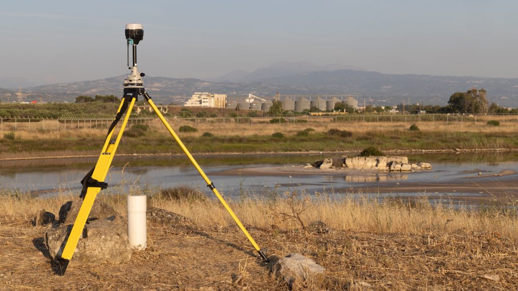
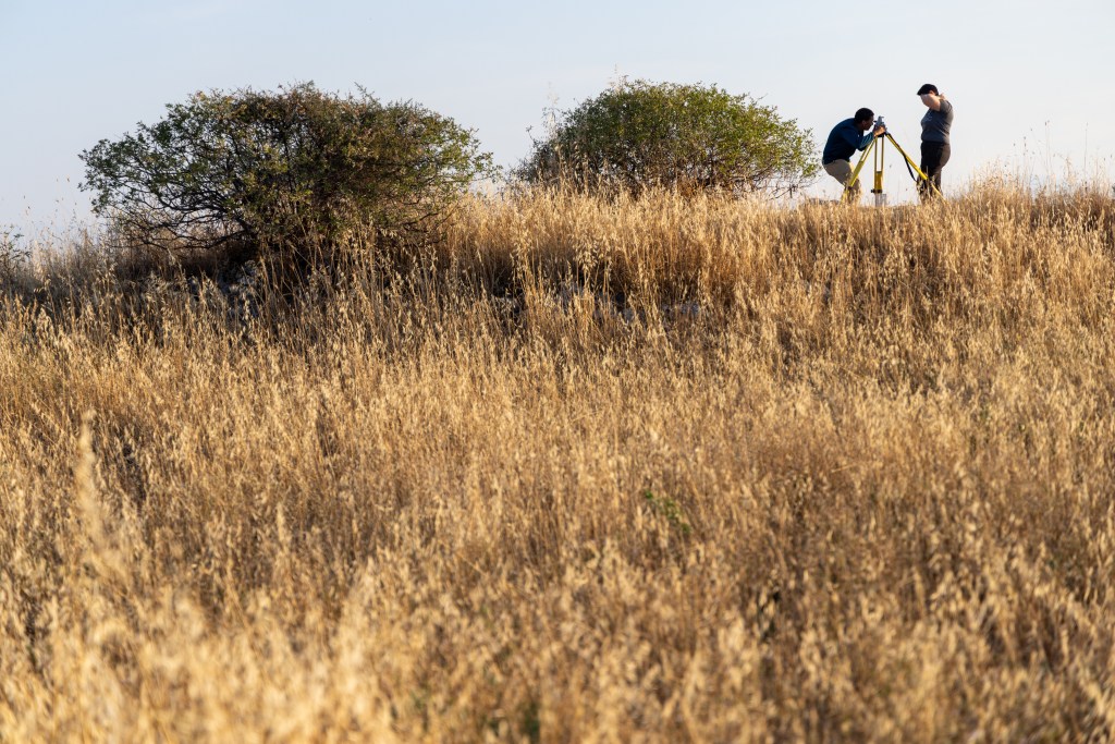
Mapping the physical locations of what we find is one of our most important tasks on site. At LHSLP, we are the first project in Greece to use a Global Navigation Satellite System (GNSS) to do this. GNSS is similar to the GPS you might use while driving, but it relies on a global array of satellites. We set up a base station on site to communicate with the satellite array, then use individual sensors called rovers to measure the location of artifacts, contexts, and features on site to a high degree of accuracy. Using GNSS allows us to map across our entire large site, even in areas that are not intervisible on land.
